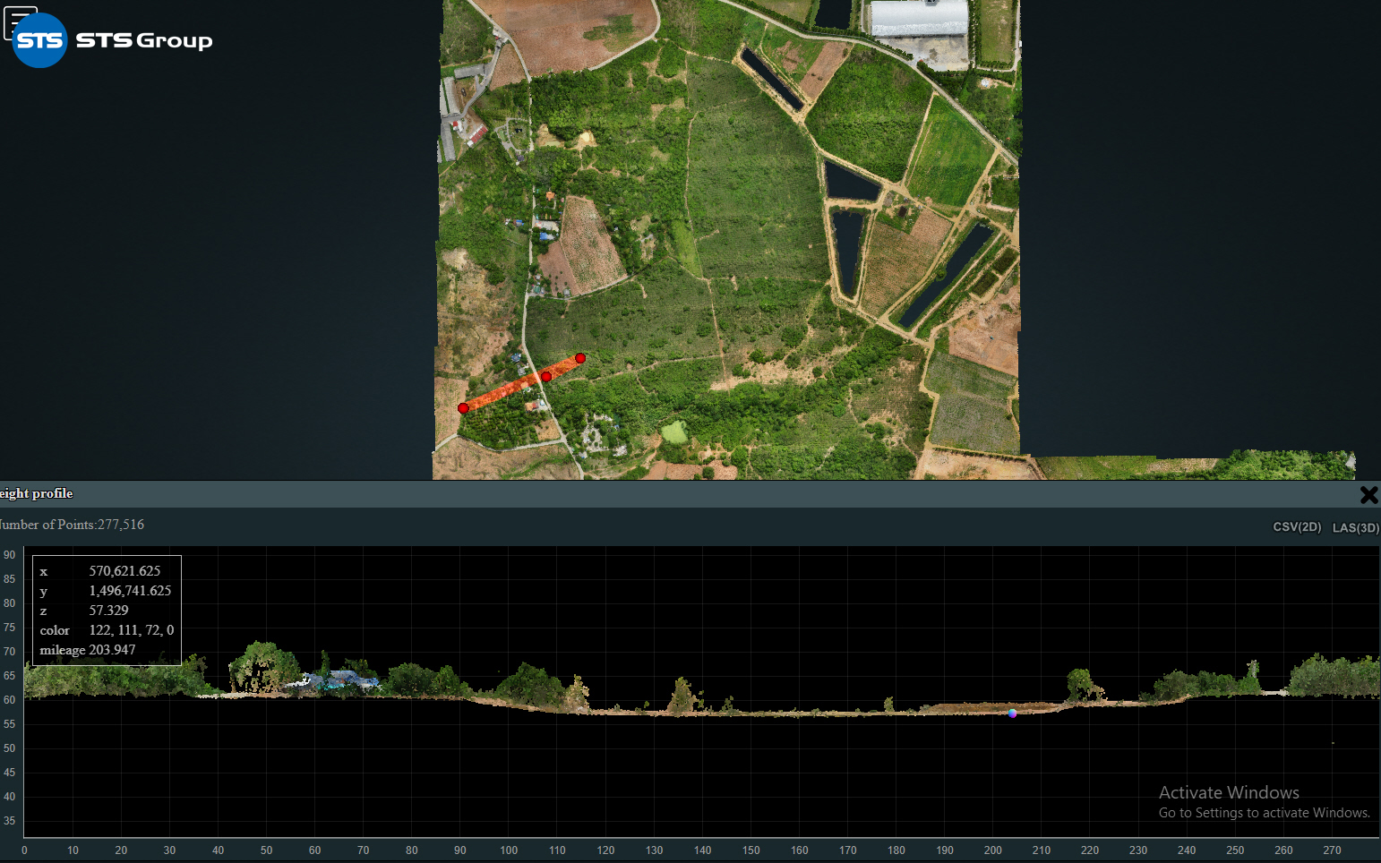
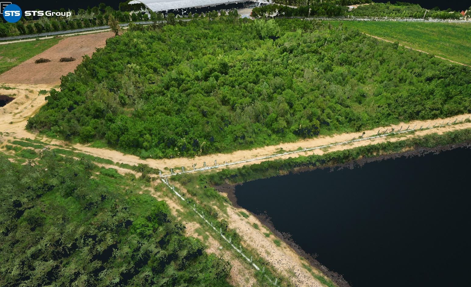
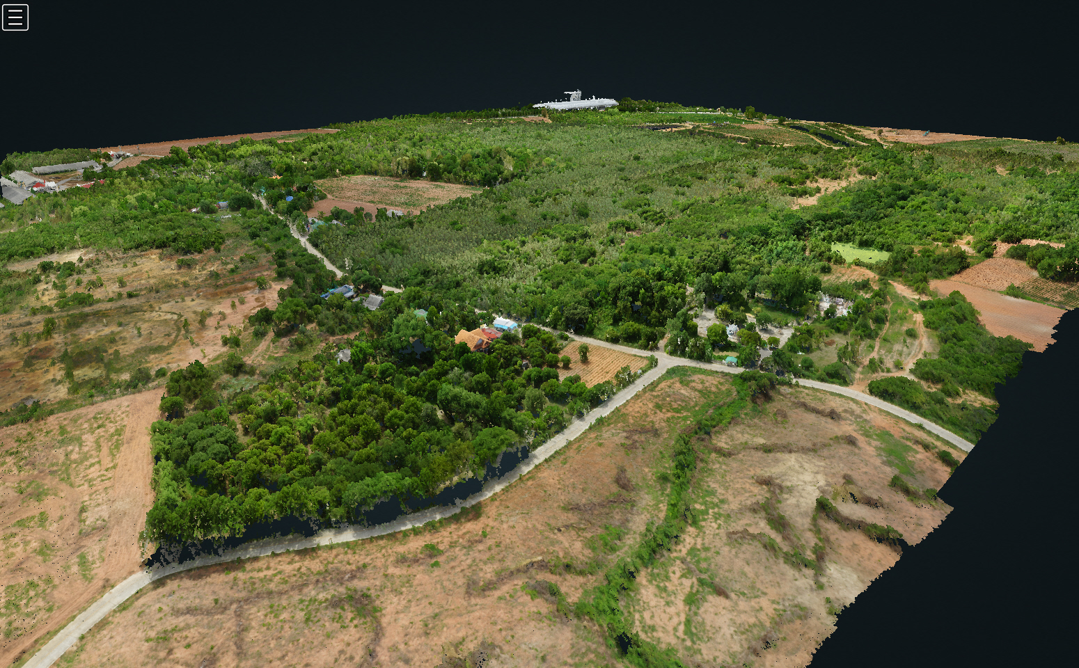
Drone LiAir V70 Land Survey Project at Suan Phueng, Ratchaburi Province, covering an area of approximately 365 Rai (144.41 Acre), employs LiDAR technology installed on a UAV (Unmanned Aerial Vehicle) to collect survey data. This data acquisition aims to obtain highly accurate 3D coordinate information (Point Clouds) with a range accuracy of ±2 units and true-color imagery, which vividly displays the physical features of the topography and various structures. The survey data includes the following:
1. Orthophoto Image Map Data: A map composed of aerial photographs corrected for distortion, provides a flat and accurate terrain representation.
2. Point Cloud Data: A collection of X, Y, and Z
coordinate values that record the boundaries of objects in the surveyed area.
3. Digital Terrain Model (DTM) Data: A representation of the terrain's height, removing physical surface coverings to display the bare-earth elevation.
4. Digital Surface Model (DSM) Data: An elevation model representing the height of the terrain, including structures, trees, and other vegetation.
The acquired data can be utilized for various applications, such as design projects and visual representations in formats like cross sections, cross profiles, and contour lines.
The additional surveying video at Youtube:
https://youtu.be/qkh9Q8I3W3I